Medio Ambiente
AI Turns GNSS Signals Into More Detailed 3D Humidity Maps
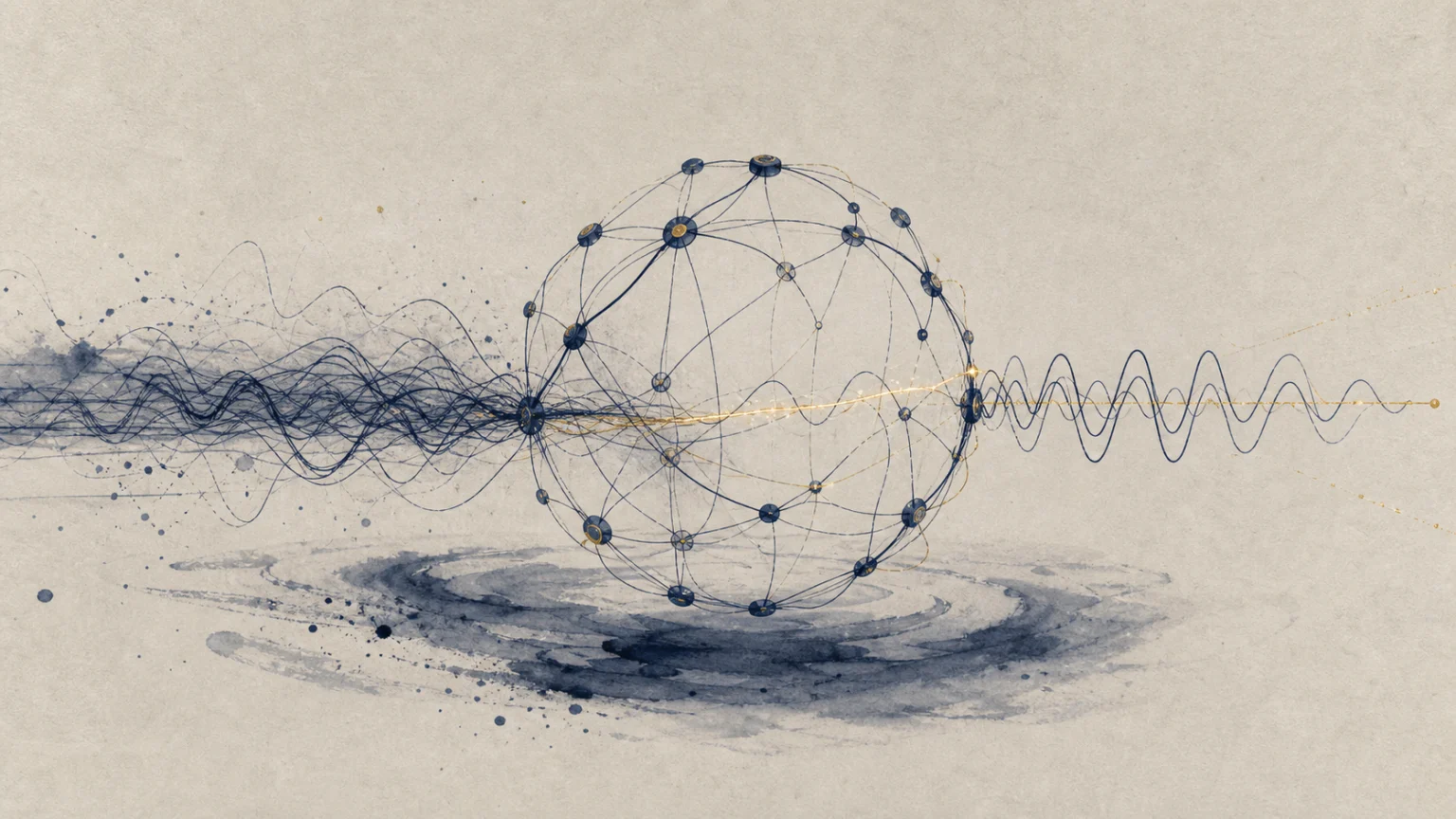
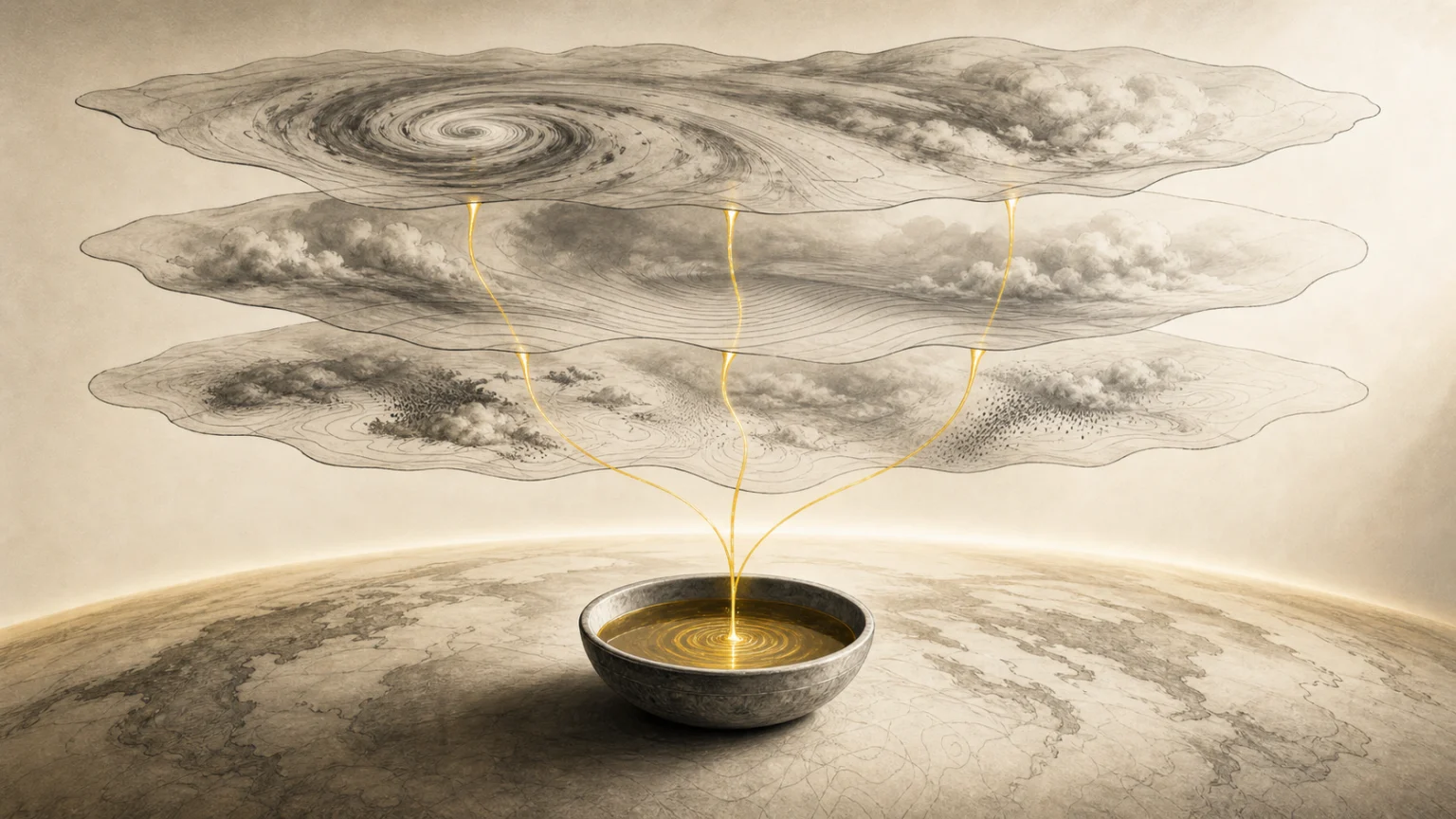
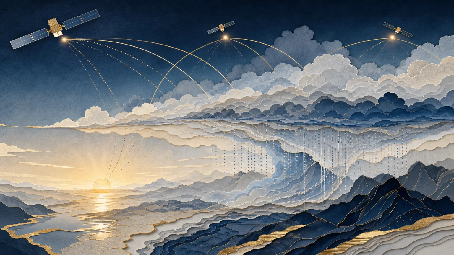
A team at the University of Wrocław has applied deep learning to satellite navigation signals to improve three-dimensional humidity maps. The work could lead to better warnings for heavy rainfall and flash floods.
5 min